MyGeodata: Difference between revisions
Created page with "Main Page ===My Geodata - Convert Shapefiles to CSV easily=== As Golden Retriever requires its data in CVS format with the coordinates in EPSG:4326 (WGS84) you can use the free service [https://mygeodata.cloud My Geodata] to convert Shapefiles to this format. When you first visit [https://mygeodata.cloud My Geodata] you will see a button to upload your Shapefile. Click to find the zip file that was provided to you. File:2025-01-13 13.47.57 mygeodata.c..." |
No edit summary |
||
| Line 6: | Line 6: | ||
When you first visit [https://mygeodata.cloud My Geodata] you will see a button to upload your Shapefile. Click to find the zip file that was provided to you. | When you first visit [https://mygeodata.cloud My Geodata] you will see a button to upload your Shapefile. Click to find the zip file that was provided to you. | ||
[[File:2025-01-13 13.47.57 mygeodata.cloud c46b56a2df97.png| | [[File:2025-01-13 13.47.57 mygeodata.cloud c46b56a2df97.png|none]] | ||
The website will analyze the file and then provide you a preview of how the data would plot | The website will analyze the file and then provide you a preview of how the data would plot | ||
[[File:2025-01-13 13.48.57 mygeodata.cloud c905d8e218f5.png| | [[File:2025-01-13 13.48.57 mygeodata.cloud c905d8e218f5.png|none]] | ||
[[File:2025-01-13 13.50.06 mygeodata.cloud 806e35a24c0e.png| | [[File:2025-01-13 13.50.06 mygeodata.cloud 806e35a24c0e.png|none]] | ||
If everything looks good, click "Looks Good". Next select CSV for the output format and then select EPSG:4326 for the export coordinate system. Then click " | If everything looks good, click "Looks Good". Next select CSV for the output format and then select EPSG:4326 for the export coordinate system. Then click "Convert" | ||
[[File:2025-01-13 13.51.05 mygeodata.cloud 36725e85a382.png| | [[File:2025-01-13 13.51.05 mygeodata.cloud 36725e85a382.png|none]] | ||
If you are only converting one Shapefile a month | If you are only converting about one Shapefile a month, you should be able to make use of the Free plan to complete the conversion. In this case you will be presented with the screen to download your new CSV. | ||
[[File:2025-01-13 14.02.04 mygeodata.cloud b3c0956bf513.png| | [[File:2025-01-13 14.02.04 mygeodata.cloud b3c0956bf513.png|none]] | ||
In the downloaded CSV you will now have two new columns at the start: X & Y | In the downloaded CSV you will now have two new columns at the start: X & Y. These are the coordinates for the records in WGS84 format. | ||
[[File:Screenshot 2025-01-13 142046.png| | [[File:Screenshot 2025-01-13 142046.png|none]] | ||
Latest revision as of 21:26, 13 January 2025
My Geodata - Convert Shapefiles to CSV easily
As Golden Retriever requires its data in CVS format with the coordinates in EPSG:4326 (WGS84) you can use the free service My Geodata to convert Shapefiles to this format.
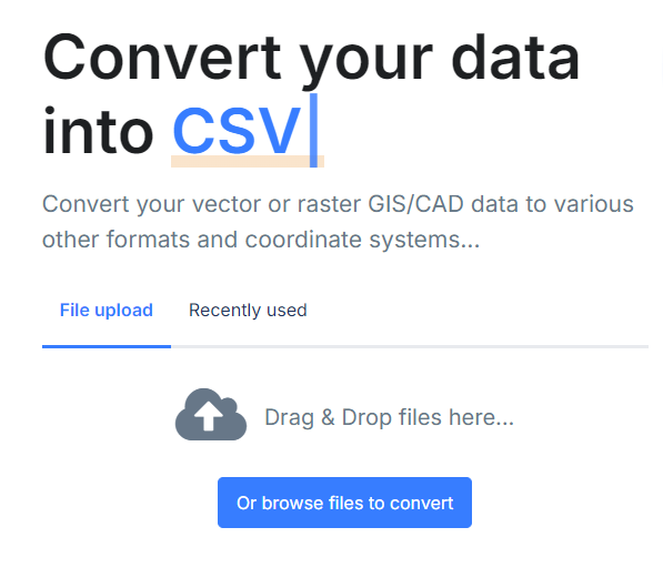
When you first visit My Geodata you will see a button to upload your Shapefile. Click to find the zip file that was provided to you.
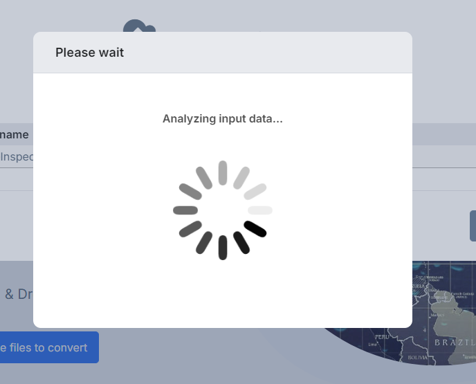
The website will analyze the file and then provide you a preview of how the data would plot
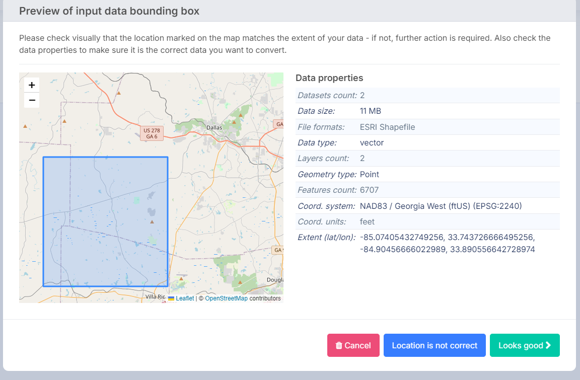
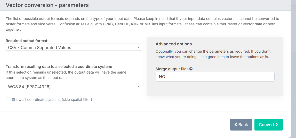
If everything looks good, click "Looks Good". Next select CSV for the output format and then select EPSG:4326 for the export coordinate system. Then click "Convert"
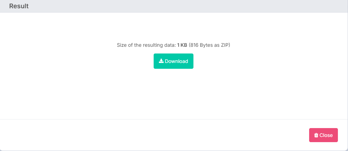
If you are only converting about one Shapefile a month, you should be able to make use of the Free plan to complete the conversion. In this case you will be presented with the screen to download your new CSV.
In the downloaded CSV you will now have two new columns at the start: X & Y. These are the coordinates for the records in WGS84 format.

